We provide polygon map creation and file conversion services for business administration and licensing purposes.
Our Services::
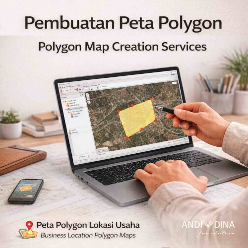
- Creation of Business Location Polygon Maps
- KML to KMZ file conversion
- Coordinate adjustment based on your requirements
- Land boundary revision and adjustment
- Files ready for OSS / licensing system upload
File Formats:
The list of possible output formats depends on the type of
your input data. Please keep in mind that if your input data contains vectors,
it cannot be converted to raster formats and vice versa. Confusion arises e.g.
with GPKG, GeoPDF, KMZ or MBTiles input formats - these can contain either
raster or vector data or both together.
Required output format: CSV, DGN, DXF, ESRI File Geodatabase
vector (OpenFileGDB), ESRI Shapefile (.shp), FlatGeobuf (.fgb), GML, GPKG, GPX,
GeoJSON (.geojson), GeoJSON Sequence (GeoJSONSeq), KML, KMZ, MapInfo MIF/MID
(interchange), MapInfo TAB (binary), ODS, PDF, Parquet, SQLite/ SpatialLite, SVG,
Topo JSON (.topojson), WKT, XLSX - MS Office Open XML spreadsheet
Suitable For:
- NIB (Business Identification Number) application
- OSS system requirements
- MSMEs
- Companies (LLC, Partnerships, Sole Proprietorships)
- Business permits and other administrative requirements
Processing Time
1–24 hours
Sumber gambar / Image source: Generated by ChatGPT 5.2 AI, 14-02-2026
(End)
Related Products